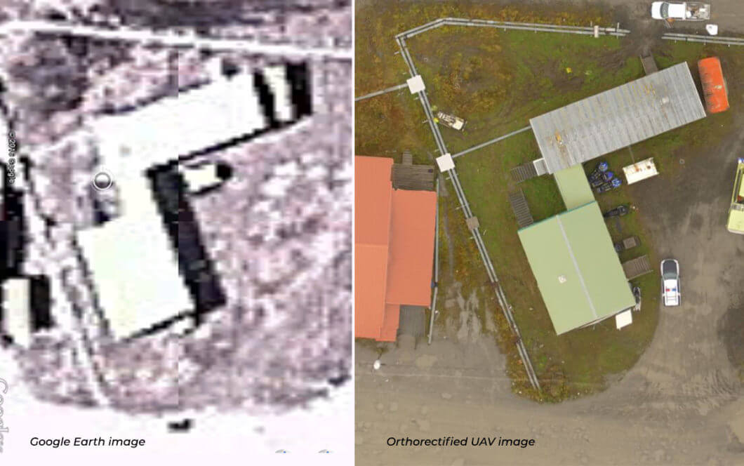
Highly detailed aerial imagery for project sites is now an affordable option, thanks to advancements in unmanned aircraft systems (UAS) technology and digital photogrammetry. These advancements allow for the creation of centimeter pixel resolution imagery with much greater detail than that found in satellite imagery and traditional aerial imagery. In fact, UAS orthoimagery can contain over 10,000 pixels within the space of a single satellite imagery pixel. That means through UAS orthoimagery, actual ground conditions are visible to the naked eye—we can now see things that were not previously distinguishable in satellite imagery.
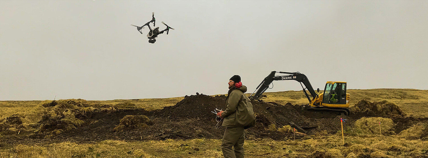
Brice deploys UAS with Micro Four Thirds camera sensor technology to capture images of remote sites and/or complex environments for our clients. UAS orthoimagery can add tremendous value for project scoping, planning, and execution, as well as ongoing site monitoring, especially at small remote sites for which very poor historical aerial and satellite imagery currently exists, if at all. With UAS orthoimagery, we can now document site conditions before, during and after fieldwork at minimal cost. Further, orthorectification and georeferencing give you confidence that the image coordinates of a site feature are a true representation of its ground location. Lastly, image processing turnaround time is minimal, allowing you to use the imagery in near real time to track progress and make decisions on a more timely basis.